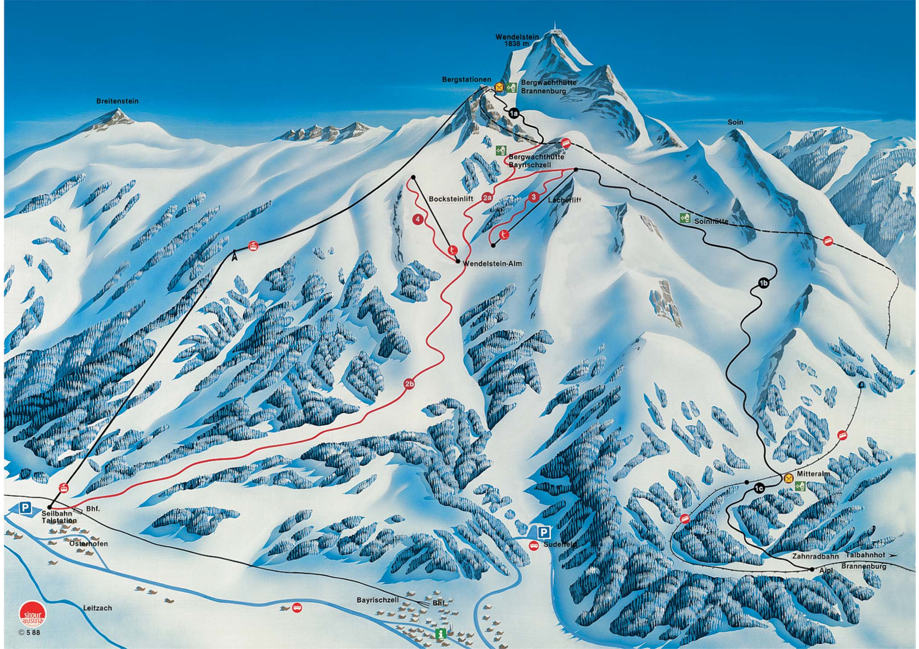
Wendelstein Piste Map
View the trails and lifts at Wendelstein with our interactive piste map of the ski resort. Plan out your day before heading to Wendelstein or navigate the mountain while you're at the resort with the latest Wendelstein piste maps. Click on the image below to see Wendelstein Piste Map in a high quality.